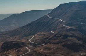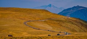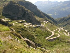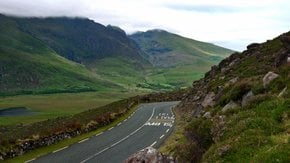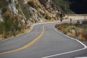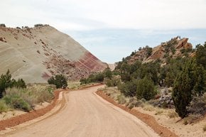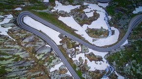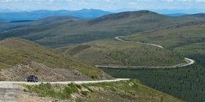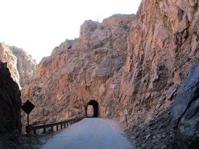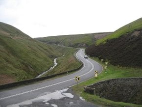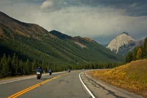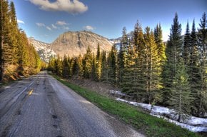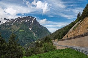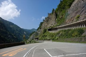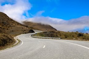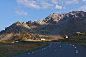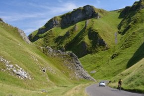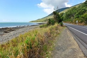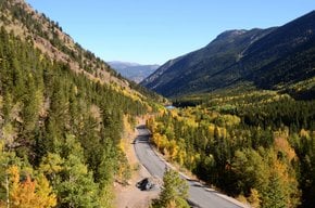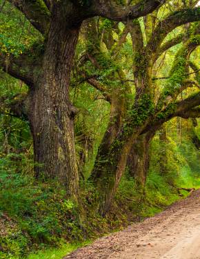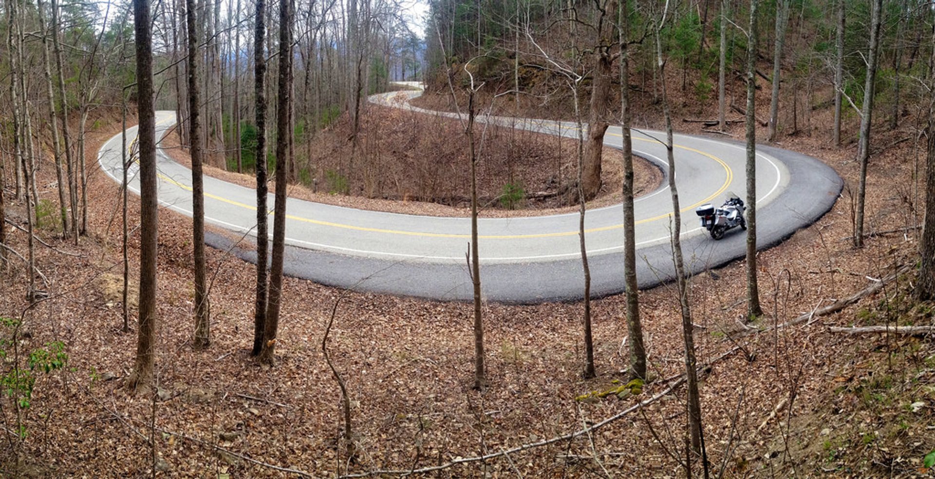
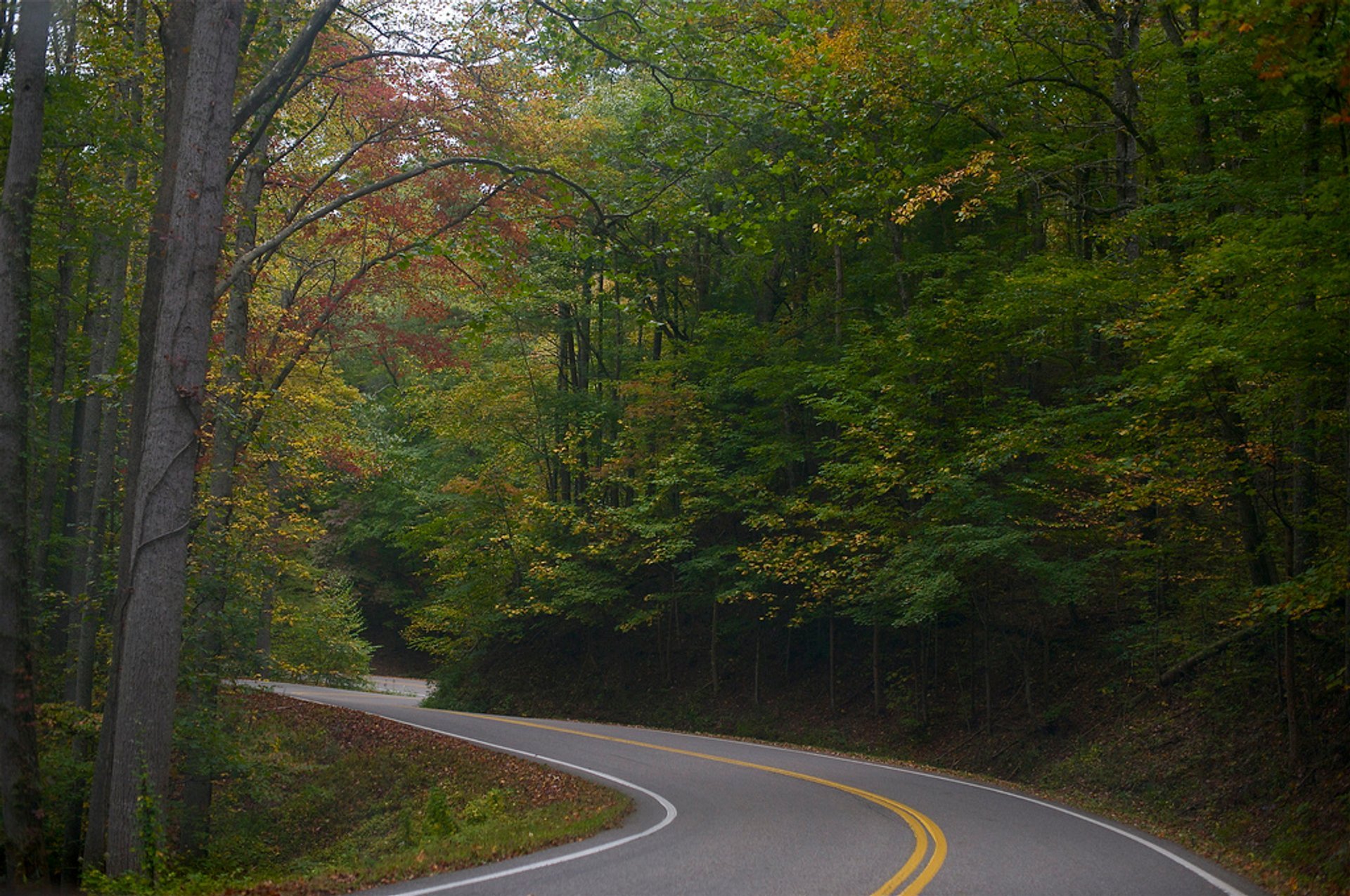


The Tail of the Dragon at Deals Gap is a scenic hilly road stretching on the border between North Carolina and Tennessee. It reaches an elevation of 1,988 feet (606 m), passing along the southwest border of Great Smoky Mountains National Park near the Little Tennessee River. The Dragon's Tail Road boasts 318 curves in 11 miles (18 km), which makes it a premier destination for motorcycles and sports cars in the USA. This famous drive was featured in at least four movies: Thunder Road (1958), Two-Lane Blacktop (1971), The Fugitive (1993), and In Dreams (1999).
Where is the Tail of the Dragon Road
The Tail of the Dragon is located at Deals Gap and is a part of U.S. Route 129 in Blount County, Tennessee, and Swain County, North Carolina. The drive is also called Tapoco Road in NC and Calderwood Highway in TN. The twisting ride runs from the North Carolina/Tennessee border (Tapoco Road, Robbinsville, NC) and finishes in front of Chilhowee Lake, TN. Some of the sharpest curves of the road have their own names: Copperhead Corner, Wheelie Hell, Hog Pen Bend, Shade Tree Corner, Sunset Corner, Gravity Cavity, Mud Corner, Beginner's End, and Brake or Bust Bend.
Best time to drive Tail of the Dragon
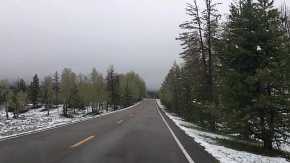
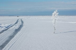
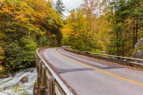
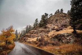
Even though the Dragon's Tail Road could remain open throughout the year, the best time to use the road is from April to October due to safe road conditions and mild mountain temperatures. During winter, the weather on the road can be harsh and unpredictable with occasional heavy snowfalls, blizzards, and icy conditions. However, the cold season has one advantage—good visibility on the curves since the trees are leafless.
How long does it take to ride the Tail of the Dragon
The speed limit on the road is 30 miles per hour (48 kph). So you can complete a one-way trip in about 30 minutes. The time needed will depend on how you drive as well as the overall traffic. Anyways, be cautious, as there have been some fatalities recorded on the Dragon. The sheer 37 deaths occurred between 2000 and 2017.
Camping near Tail of the Dragon
If you wish to stay longer and rest your head on the Dragon, check out some of its best camping options. You'll find campgrounds, camp cabins, and RV hookups. Deals Gap Motorcycle Resort, Hunt's Lodge Motorcycle Campground, and Iron Horse Motorcycle Lodge are great choices if you're looking for a motorcycle-friendly place.
Tail of the Dragon map & things to do
When you're up to visiting the Dragon's Tail, you might want to have a closer look at the map below and find hotels nearby. Make your bookings in advance as this destination has been increasingly popular lately. Also, consider including other fun activities in your getaway program. Check out a close scenic drive of Little River Road, visit some of Tennessee waterfalls nearby, glimpse hummingbird migration, or behold the fall colors around Gatlinburg.
Practical info
Where is the Tail of the Dragon Road?
It's located on U.S. Route 129 at Deals Gap, North Carolina/Tennessee border. Show more
How long does it take to ride the Tail of the Dragon?
Around half an hour for one way. Show more
How far is the Tail of the Dragon from Pigeon Forge?
The northwest tip of the Dragon's Tail (at Chilhowee Lake) is approximately 45 miles (73 km) southwest of Pigeon Forge. Show more
How far is the Tail of the Dragon from Gatlinburg?
The northwest tip of the Dragon's Tail (at Chilhowee Lake) is approximately 50 miles (80 km) southwest of Gatlinburg. Show more