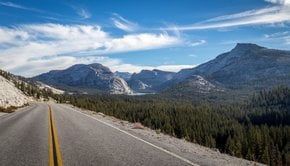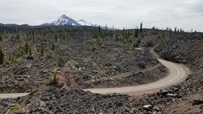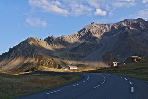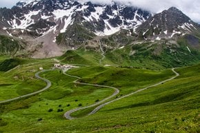

Mont Ventoux is Provence's signature peak with an elevation of 1,912 m (6,273 ft). Located not far from Carpentras, Vaucluse, the mountain is often called the Giant of Provence or The Bald Mountain. It became famous internationally after being included in Tour de France race.
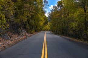
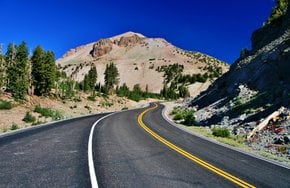
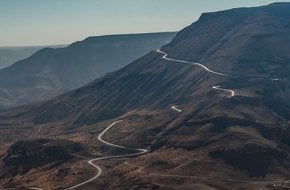
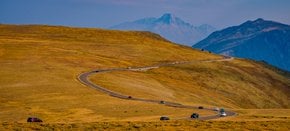
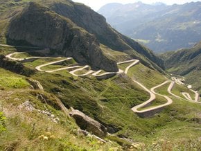
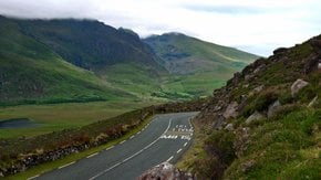
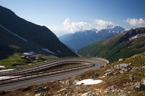
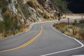
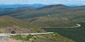
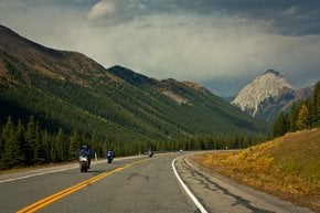
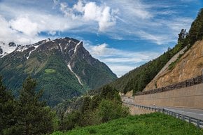
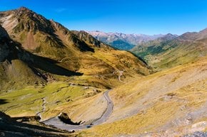
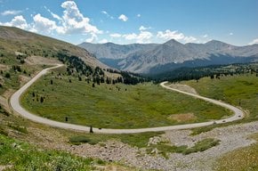
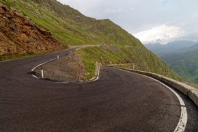
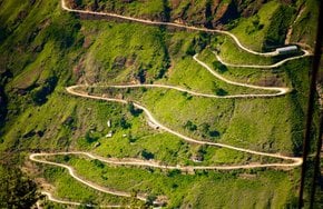
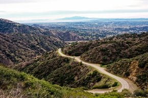
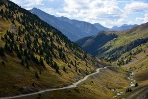
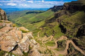
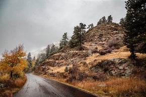
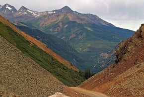
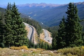
The road D974 that traverses the summit is considered to be a challenging place to drive due to high winds and steep climb, which reaches 10% gradient incline most of the time. There are three routes that take you to the top of Mont Ventoux: from Bédoin, Sault, and Malaucène.
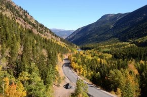
The ascent to Mont Ventoux from Bédoin is the most popular with cyclists as it is almost always featured in the Tour de France race. The ascent is 21.8 km (13.5 miles) long and runs past olive groves, vineyards, and cherry orchards. This route always sees cyclists rain or shine.
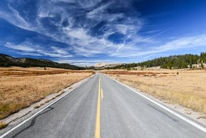
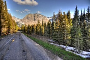
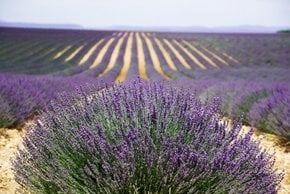
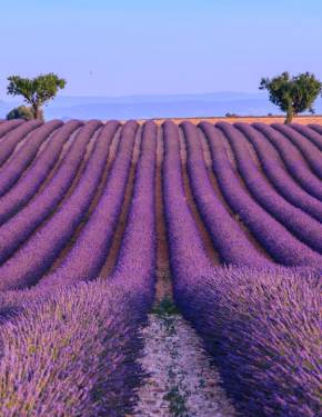
The ascent from Sault is 26 km (16 mi) and runs along the D164 and the D974 roads. Visitors pass some stunning lavender fields on their way up as well as pine forests, with picnic tables under the trees—a perfect stop to enjoy nature. The steepest section comes after 20 km, beyond the Chalet Reynard ski station.
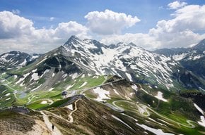
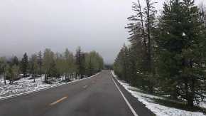
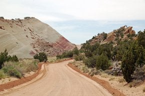
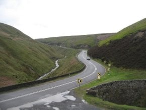
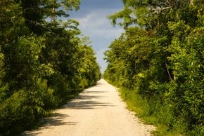
Malaucène route winds for 21.5 km (13 mi) up the north side of Mont Ventoux. This section of the D974 road is the widest of the three, it even boasts a bike lane. Just outside Malaucène you will drive through garrigue (provençal scrubland) dotted with colorful wildflowers in spring that is later on replaced with wooded lower slopes. About 6 km (4 mi) from the top you'll get a first glimpse of the summit and you can stop here at Station du Mont Serein at 1,400 m (4,593 ft). This place offers lots of activities from hiking and horseback riding to a treetop adventure playground. The resort offers the only campsite on the upper areas of Mont Ventoux—Camping Mont Serein where you can stay overnight or simply fill your water bottle and use the bathrooms for a small charge.
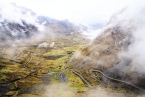
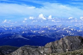
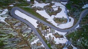
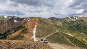
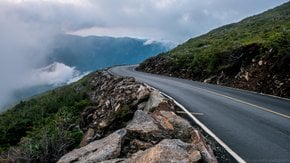
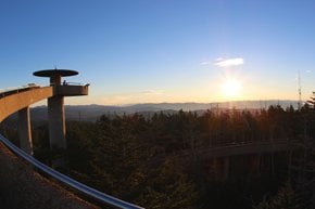
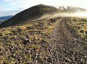
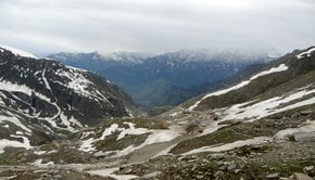
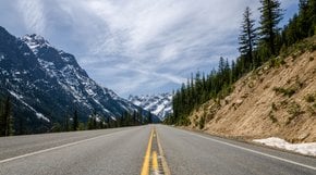
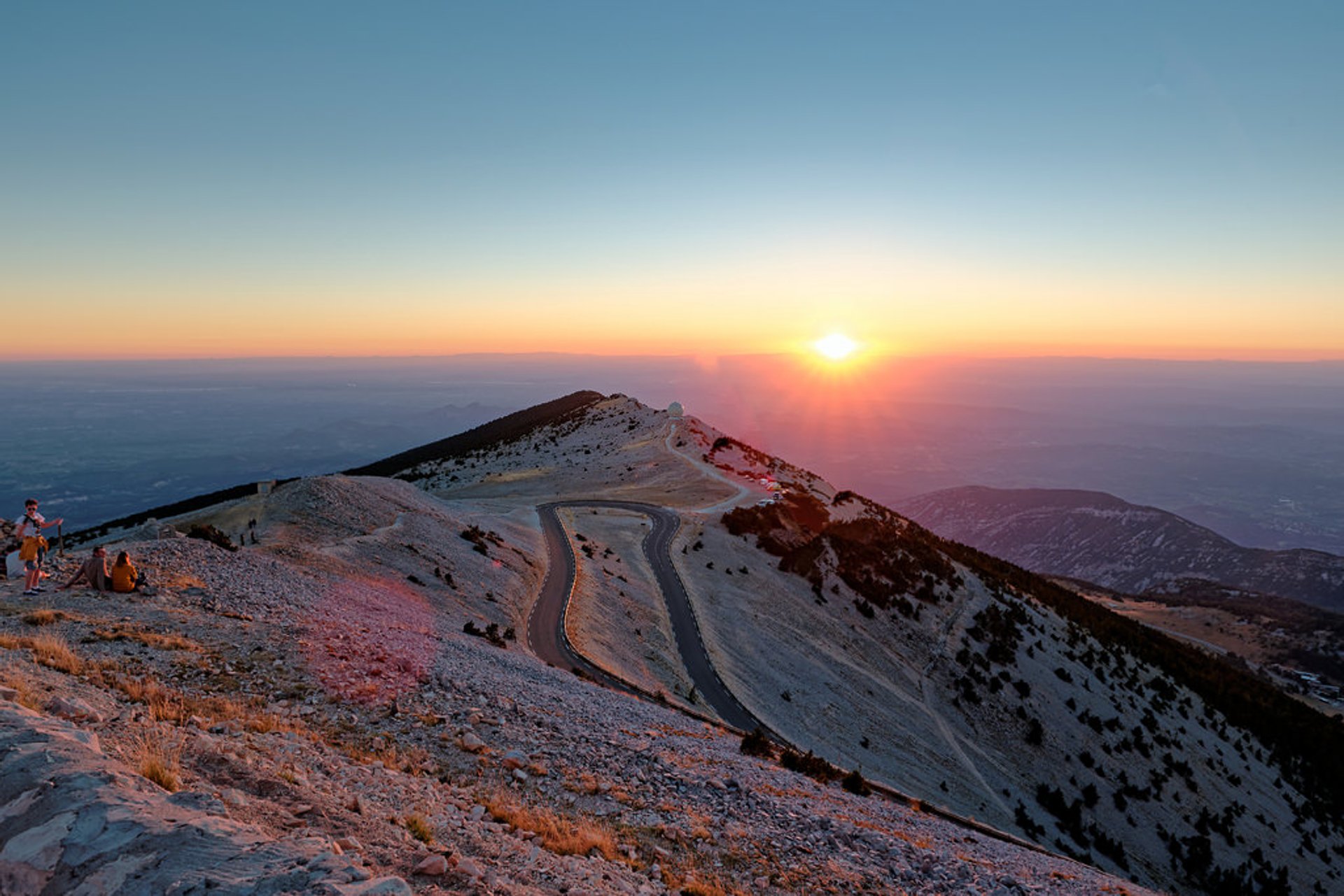
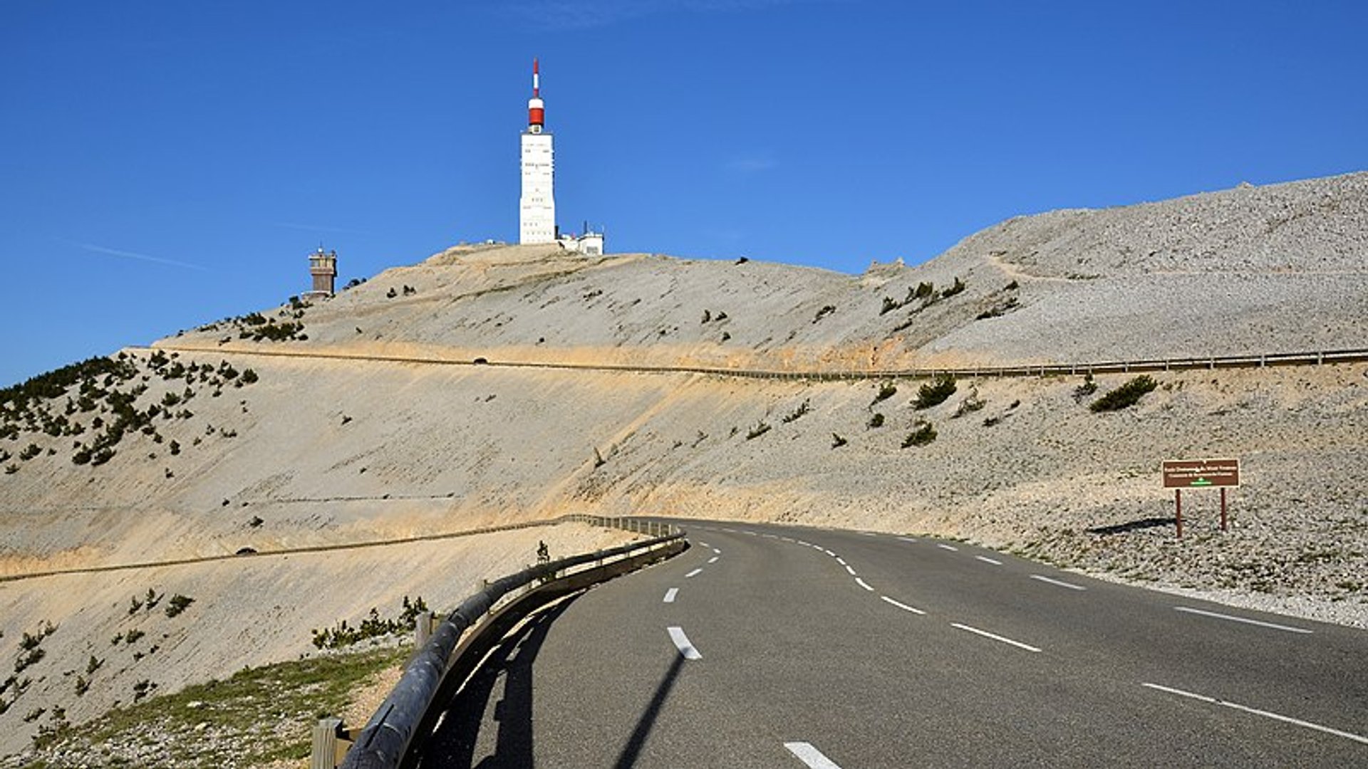
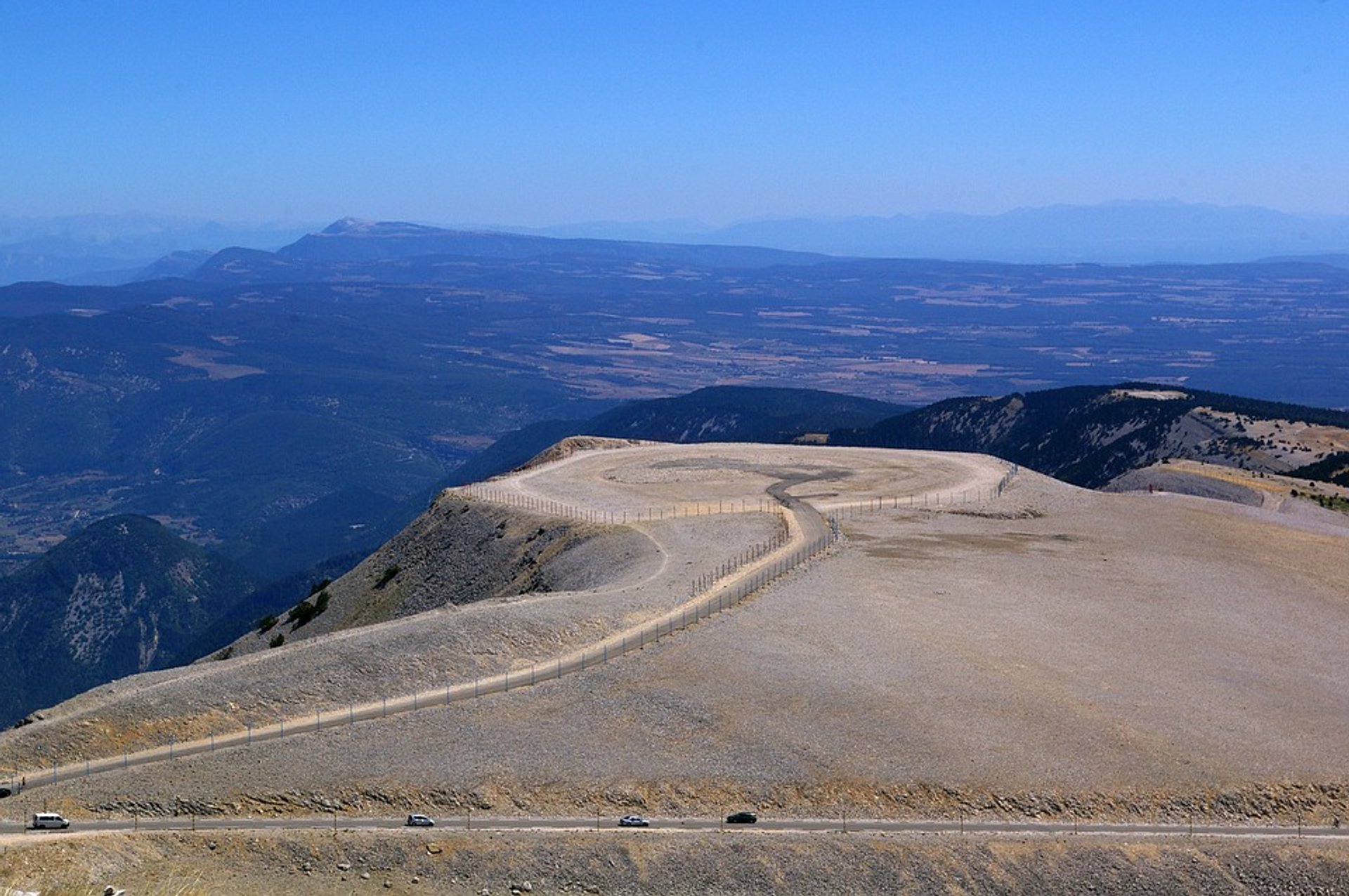
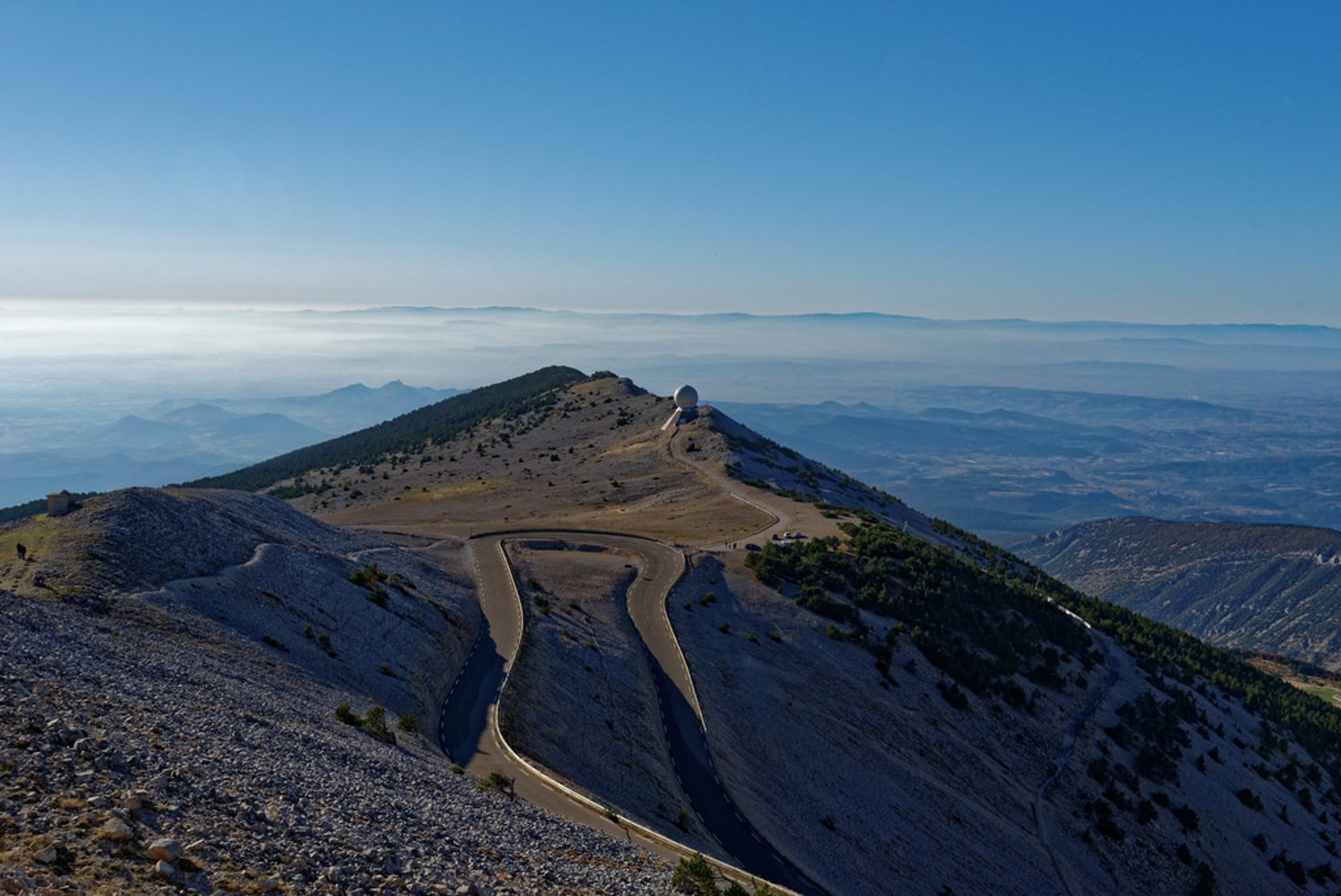
The most breathtaking moment is reaching the top. The summit of Mont Ventoux is a bare limestone without any vegetation or trees, and from a distance it seems like the mountain is snow-capped all year round, but it's actually covered with snow only from December to April. From here you get an excellent overlook of the valley of the Rhône and much of Provence. You will also find an old meteorological observatory (non-active), a souvenir shop with mini-replicas of notable milestones, stall selling sweets and local saucissons, and a restaurant serving basic meals. In the summer, parking is limited, so drive to the summit as early as possible. At times, the summit is wrapped in clouds, but on a clear day you should be able to see the Alps, Mediterranean coast, and the Rhône valley.
The first historical record of Mount Ventoux climb dates back to 1334 when Jean Buridan climbed the mountain to make meteorological observations. In two years, the Italian poet Petrarch also wrote an account of his ascent up the mountain. The road was built here in 1900. It is paved and in good condition. Some tragic moments havehappened on the mountain too. About kilometer down from the summit there is a memorial of cyclist Tom Simpson who died of exhaustion and overheating near the summit during Tour de France of 1967. Today cyclists bring water bottles in tribute.